
Fáìlì:Colombia location map.svg

Size of this PNG preview of this SVG file: 512 × 579 pixels. Àwọn ìgbéhàn míràn: 212 × 240 pixels | 424 × 480 pixels | 679 × 768 pixels | 905 × 1,024 pixels | 1,811 × 2,048 pixels.
Fáìlì àtìbẹ̀rẹ̀ (faili SVG, pẹ̀lú 512 × 579 pixels, ìtòbi faili: 1.07 MB)
|
|
Fáìlì yìí wá láti Wikimedia Commons. Àròyé láti ojúewé ìjúwe rẹ̀ níbẹ̀ nìyí nísàlẹ̀. |
Àkótán
| Ìjúwe |
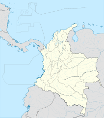
English: Location map of Colombia
Equirectangular projection. Geographic limits of the map:
|
| Ọjọ́ọdún | |
| Orísun | Iṣẹ́ onítọ̀hún (Original text: own work, using Demis data) |
| Olùdá | Milenioscuro |
| Àwọn àtẹ̀jáde míràn |
Derivative works of this file: Bajo Nuevo Colombia location.png
|
| SVG genesis | This W3C-invalid map was created with Adobe Illustrator. |


.svg)

Ìwé àṣẹ
Milenioscuro, tó ni ẹ̀tọ́àwòkọ iṣẹ́ yìí, fara mọ́ ọ láti tẹ̀ẹ́jáde lábẹ́ ìwé-àṣẹ ìsàlẹ̀ yìí:
Fáìlì yìí wà lábẹ́ ìwé àṣẹ Creative Commons Ìdálórúkọ-Share Alike 3.0 Aláìkówọlé.
Ìdálórúkọ: Milenioscuro
- Ẹ ní ààyè:
- láti pín pẹ̀lú ẹlòmíràn – láti ṣàwòkọ, pínkiri àti ṣàgbéká iṣẹ́ náà
- láti túndàpọ̀ – láti mulò mọ́ iṣẹ́ míràn
- Lábẹ́ àwọn àdéhùn wọ̀nyí:
- ìdárúkọ – Ẹ gbọdọ̀ ṣe ọ̀wọ̀ tó yẹ, pèsè ìjápọ̀ sí ìwé-àṣe, kí ẹ sì sọ bóyá ìyípadà wáyé. Ẹ le ṣe èyí lórísi ọ̀nà tó bojúmu, sùgbọ́n tí kò ní dà bii pé oníìwé-àṣe fọwọ́ sí yín tàbí lílò yín.
- share alike – Tó bá ṣe pé ẹ ṣ'àtúndàlú, ṣàyípadà, tàbí ṣ'àgbélé sí iṣẹ́-ọwọ́ náà, ẹ lè ṣe ìgbésíta àfikún yín lábẹ́ ìwé-àṣẹ kannáà tàbí tójọra mọ́ ti àtilẹ̀wa.
| Annotations | This image is annotated: View the annotations at Commons |


Ìtàn fáìlì
Ẹ kan kliki lórí ọjọ́ọdún/àkókò kan láti wo fáìlì ọ̀ún bó ṣe hàn ní àkókò na.
| Ọjọ́ọdún/Àkókò | Àwòrán kékeré | Àwọn ìwọ̀n | Oníṣe | Àríwí | |
|---|---|---|---|---|---|
| lọ́wọ́ | 20:17, 22 Oṣù Kejì 2022 | | 512 × 579 (1.07 MB) | Milenioscuro | standard colors |
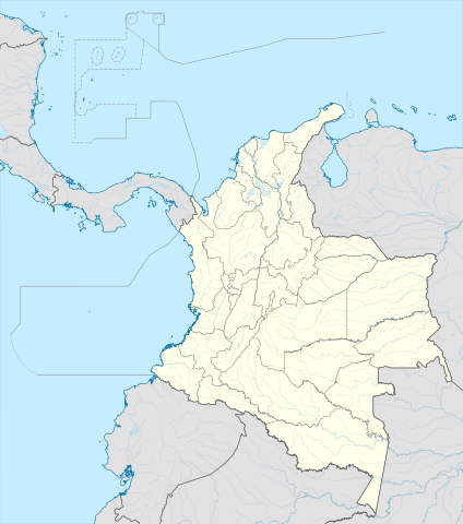
| 11:10, 1 Oṣù Kejìlá 2017 |  | 2,027 × 2,294 (1.37 MB) | Milenioscuro | limits | |
| 11:00, 1 Oṣù Kejìlá 2017 |  | 2,027 × 2,294 (1.37 MB) | Milenioscuro | more visible limits | |
| 05:48, 28 Oṣù Kínní 2014 |  | 2,027 × 2,294 (1.39 MB) | Milenioscuro | correction of departamental, international and maritime boundaries, courses of rivers, coastline, and line thickness | |
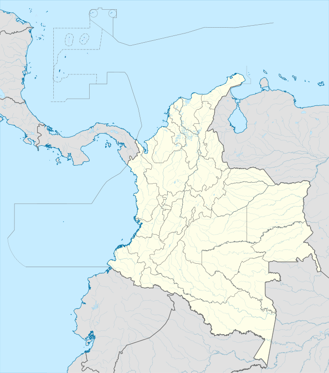
| 17:01, 29 Oṣù Kàrún 2012 |  | 2,007 × 2,298 (1.07 MB) | Milenioscuro | correction of some departamental borders | |
| 18:58, 26 Oṣù Kẹta 2012 |  | 2,007 × 2,298 (1.08 MB) | Milenioscuro | correction of international borders, added layers, rivers, etc | |
| 08:12, 17 Oṣù Kọkànlá 2011 |  | 2,007 × 2,298 (1.04 MB) | Milenioscuro | simplification of rivers, correction of some borders | |
| 23:48, 2 Oṣù Kọkànlá 2009 |  | 2,007 × 2,298 (1.14 MB) | Milenioscuro | thick boundaries of departments | |
| 09:10, 1 Oṣù Kọkànlá 2009 |  | 2,007 × 2,298 (1.15 MB) | Milenioscuro | Adjusted to match style of location maps 2008 | |
| 07:30, 26 Oṣù Kẹ̀wá 2009 |  | 2,268 × 2,676 (1.4 MB) | Milenioscuro | maritime boundaries |
Ìlò fáìlì
Ojúewé kan yìí únlo fáìlì yí:
Ìlò fáìlì káàkiri
Àwọn wiki míràn wọ̀nyí lo fáìlì yìí:
- Ìlò ní af.wikipedia.org
- Ìlò ní als.wikipedia.org
- Ìlò ní an.wikipedia.org
- Ìlò ní ar.wikipedia.org
- Ìlò ní ast.wikipedia.org
- Bogotá
- Cali
- Estadiu Doce de Octubre
- Puerto Colombia (Guainía)
- González (Cesar)
- Estadiu Deportivo Cali
- Módulu:Mapa de llocalización/datos/Colombia
- Ríu Magdalena
- Capitoliu Nacional de Colombia
- Comisión Colombiana del Espaciu
- Nevado del Ruiz
- Módulu:Mapa de llocalización/datos/Colombia/usu
- Barranquilla
- Cartagena de Indias
- Estadiu Metropolitanu Roberto Meléndez
- Palenque de San Basilio
- Copa América 2001
- Sierra de Chiribiquete
- Inírida
- Aeropuertu Internacional El Dorado
- Casa d'Adoración Norte del Cauca
- Aeropuertu Guaymaral
- Aeropuertu Internacional Alfonso Bonilla Aragón
- Aeropuertu Internacional Alfredo Vásquez Cobo
- Aeropuertu Internacional Camilo Daza
- Aeropuertu Internacional El Edén
- Aeropuertu Internacional Ernesto Cortissoz
- Aeropuertu Internacional Gustavo Rojas Pinilla
- Aeropuertu Internacional José María Córdova
- Aeropuertu Internacional Matecaña
Ìfihàn ìlò míràn púpọ̀ fún fálì yìí.