
Fáìlì:Kingdom of England.png
Ìtóbi ìkọ́yẹ̀wò yìí: 586 × 599 pixels. Àwọn ìgbéhàn míràn: 235 × 240 pixels | 470 × 480 pixels | 751 × 768 pixels | 1,218 × 1,245 pixels.
Fáìlì àtìbẹ̀rẹ̀ (1,218 × 1,245 pixel, ìtóbi faili: 20 KB, irú MIME: image/png)
|
|
Fáìlì yìí wá láti Wikimedia Commons. Àròyé láti ojúewé ìjúwe rẹ̀ níbẹ̀ nìyí nísàlẹ̀. |
| Ìjúwe |
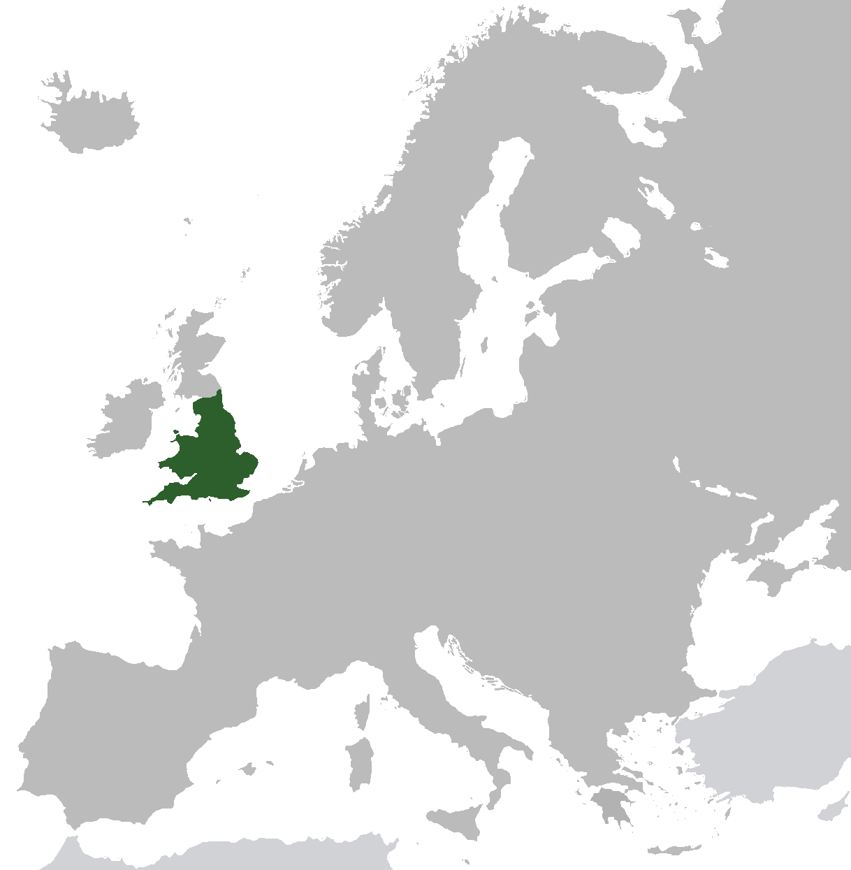
English: Map of the Kingdom of England from ca. 1282 to 1603. Does not include islands attached to the crown, but not incorporated into England, or varying territories in France. |
| Ọjọ́ọdún | |
| Orísun | Iṣẹ́ onítọ̀hún (Original text: I created this work entirely by myself.) |
| Olùdá | Gav235 (talk) |
Ìwé àṣẹ
| This work has been released into the public domain by its author, Gav235 at Èdè Gẹ̀ẹ́sì Wikipédìà. This applies worldwide. In some countries this may not be legally possible; if so: Gav235 grants anyone the right to use this work for any purpose, without any conditions, unless such conditions are required by law. |
Original upload log
Transferred from en.wikipedia to Commons by Broadbeer using CommonsHelper.
The original description page was here. All following user names refer to en.wikipedia.
- 2009-07-12 17:25 Gav235 1218×1245× (62805 bytes) {{Information |Description = Map of the Kingdom of England |Source = I created this work entirely by myself. |Date = 12 July 2009 |Author = ~~~ |other_versions = }}
Ìtàn fáìlì
Ẹ kan kliki lórí ọjọ́ọdún/àkókò kan láti wo fáìlì ọ̀ún bó ṣe hàn ní àkókò na.
| Ọjọ́ọdún/Àkókò | Àwòrán kékeré | Àwọn ìwọ̀n | Oníṣe | Àríwí | |
|---|---|---|---|---|---|
| lọ́wọ́ | 06:35, 10 Oṣù Kọkànlá 2014 | | 1,218 × 1,245 (20 KB) | AnonMoos | increasing PNG compression |
| 12:20, 20 Oṣù Kejì 2014 |  | 1,218 × 1,245 (132 KB) | Rob984 | Non-European regions light grey | |
| 07:16, 23 Oṣù Kẹ̀sán 2012 |  | 1,218 × 1,245 (39 KB) | TRAJAN 117 | Standardise colours, minor fixes. | |
| 21:38, 12 Oṣù Kejìlá 2010 |  | 1,218 × 1,245 (39 KB) | VEO15 | Isle of Man + Danish border | |
| 12:48, 6 Oṣù Kẹrin 2010 |  | 1,218 × 1,245 (39 KB) | Hayden120 | Corrected Cyprus. | |
| 20:13, 26 Oṣù Kẹ̀wá 2009 |  | 1,218 × 1,245 (61 KB) | File Upload Bot (Magnus Manske) | {{BotMoveToCommons|en.wikipedia|year={{subst:CURRENTYEAR}}|month={{subst:CURRENTMONTHNAME}}|day={{subst:CURRENTDAY}}}} {{Information |Description={{en|Map of the Kingdom of England}} |Source=Transferred from [http://en.wikipedia.org en.wikipedia]; transf |
Ìlò fáìlì
Ojúewé kan yìí únlo fáìlì yí:
Ìlò fáìlì káàkiri
Àwọn wiki míràn wọ̀nyí lo fáìlì yìí:
- Ìlò ní af.wikipedia.org
- Ìlò ní als.wikipedia.org
- Ìlò ní ar.wikipedia.org
- Ìlò ní arz.wikipedia.org
- Ìlò ní ast.wikipedia.org
- Ìlò ní azb.wikipedia.org
- Ìlò ní az.wikipedia.org
- Ìlò ní be.wikipedia.org
- Ìlò ní bg.wikipedia.org
- Ìlò ní ca.wikipedia.org
- Ìlò ní da.wikipedia.org
- Ìlò ní de.wikipedia.org
- Ìlò ní el.wikipedia.org
- Ìlò ní en.wikipedia.org
- Ìlò ní eo.wikipedia.org
- Ìlò ní et.wikipedia.org
- Ìlò ní eu.wikipedia.org
- Ìlò ní fr.wikipedia.org
- Ìlò ní ga.wikipedia.org
- Ìlò ní gl.wikipedia.org
- Ìlò ní gv.wikipedia.org
- Ìlò ní hr.wikipedia.org
- Ìlò ní it.wikipedia.org
- Ìlò ní kk.wikipedia.org
- Ìlò ní mk.wikipedia.org
- Ìlò ní nl.wikipedia.org
- Ìlò ní pnb.wikipedia.org
- Ìlò ní pt.wikipedia.org
- Ìlò ní ro.wikipedia.org
- Ìlò ní ru.wikipedia.org
- Ìlò ní sco.wikipedia.org
- Ìlò ní sh.wikipedia.org
- Ìlò ní sr.wikipedia.org
- Ìlò ní sv.wikipedia.org
- Ìlò ní ta.wikipedia.org
- Ìlò ní tg.wikipedia.org
- Ìlò ní tr.wikipedia.org
- Ìlò ní www.wikidata.org