
Fáìlì:LocationOceans.png
Ìtóbi ìkọ́yẹ̀wò yìí: 800 × 407 pixels. Àwọn ìgbéhàn míràn: 320 × 163 pixels | 640 × 326 pixels | 1,024 × 521 pixels | 1,280 × 651 pixels | 2,759 × 1,404 pixels.
Fáìlì àtìbẹ̀rẹ̀ (2,759 × 1,404 pixel, ìtóbi faili: 55 KB, irú MIME: image/png)
|
|
Fáìlì yìí wá láti Wikimedia Commons. Àròyé láti ojúewé ìjúwe rẹ̀ níbẹ̀ nìyí nísàlẹ̀. |

|
This locator map image could be re-created using vector graphics as an SVG file. This has several advantages; see Commons:Media for cleanup for more information. If an SVG form of this image is available, please upload it and afterwards replace this template with
{{vector version available|new image name}}.
It is recommended to name the SVG file “LocationOceans.svg”—then the template Vector version available (or Vva) does not need the new image name parameter. |
Àkótán
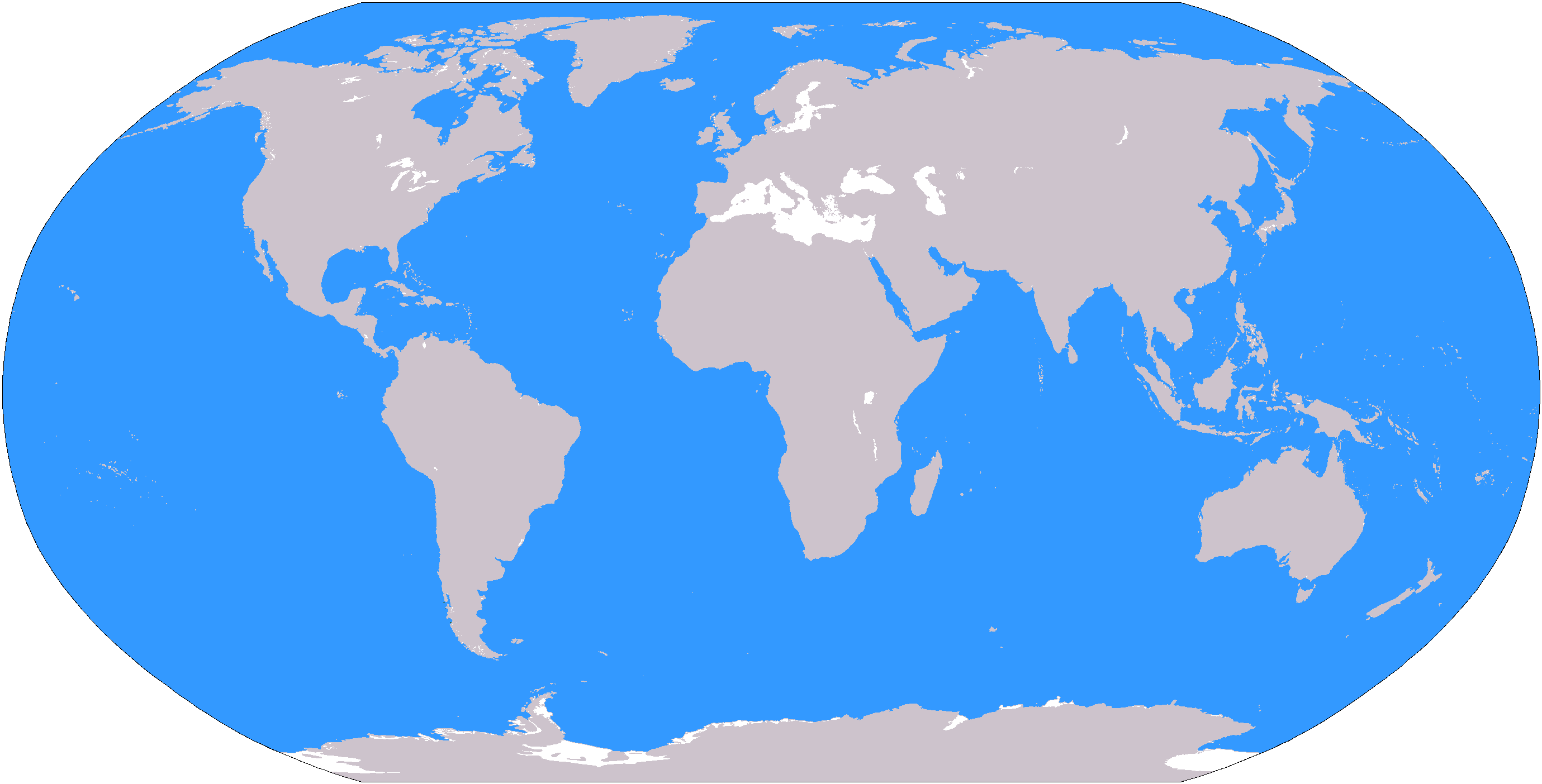
The large plain-grey Image:LocationWorld.png map modified to show oceanic areas in blue.
Ìwé àṣẹ
This image is in the public domain because it contains materials that originally came from the United States Central Intelligence Agency's World Factbook.
|
 |
Ìtàn fáìlì
Ẹ kan kliki lórí ọjọ́ọdún/àkókò kan láti wo fáìlì ọ̀ún bó ṣe hàn ní àkókò na.
| Ọjọ́ọdún/Àkókò | Àwòrán kékeré | Àwọn ìwọ̀n | Oníṣe | Àríwí | |
|---|---|---|---|---|---|
| lọ́wọ́ | 19:26, 8 Oṣù Kẹta 2006 | | 2,759 × 1,404 (55 KB) | David Kernow~commonswiki | The large plain-grey Image:LocationWorld.png map modified to show oceanic areas in blue. |
Ìlò fáìlì
Àwọn ojúewé 47 wọ̀nyí únlo fáìlì yí:
- Agbègbè Polar
- Amẹ́ríkà Gẹ̀ẹ́sì
- Amẹ́ríkà Látìnì
- Antárktìkì
- Apágúúsù Cone
- Apágúúsù Europe
- Apágúúsù Áfríkà
- Apáàríwá Amẹ́ríkà
- Apáàríwá Europe
- Apáìlàoòrùn Europe
- Apáìwọ̀òrùn Europe
- Austrálásíà
- Europe
- Gbọ̀ngàn Amẹ́ríkà
- Gbọ̀ngàn Àrin Europe
- Gúúsù-Ìlàòrùn Europe
- Gúúsù-Ìlàòrùn Ásíà
- Gúúsù Amẹ́ríkà
- Gúúsù Ásíà
- Kàríbẹ́ánì
- Maghreb
- Melanésíà
- Mikronésíà
- Oṣéáníà
- Polinésíà
- Àrin Amẹ́ríkà
- Àrin Áfríkà
- Àrin Ásíà
- Àríwá Amẹ́ríkà
- Àríwá Áfríkà
- Àríwá Ásíà
- Áfríkà
- Áfríkà Ìsàlẹ̀-Sàhárà
- Árktìkì
- Ásíà
- Ìlaòrùn Áfríkà
- Ìlàoòrùn Ásíà
- Ìwo Orí ilẹ̀ Áfríkà
- Ìwọòrùn Áfíríkà
- Ìwọòrùn Ásíà
- Òkun Apáagúúsù
- Òkun Atlántíkì
- Òkun Pàsífíkì
- Òkun Àgbáyé
- Òkun Índíà
- Oníṣe:Demmy/Sandbox/mycont
- Àdàkọ:Agbègbè ayé
Ìlò fáìlì káàkiri
Àwọn wiki míràn wọ̀nyí lo fáìlì yìí:
- Ìlò ní af.wikipedia.org
- Australasië
- Midde-Ooste
- Sentraal-Amerika
- Atlantiese Oseaan
- Suider-Afrika
- Indiese Oseaan
- Suidelike Oseaan
- Arktiese Oseaan
- Stille Oseaan
- Latyns-Amerika
- Oos-Asië
- Sjabloon:Gebiede van die wêreld
- Noord-Europa
- Melanesië
- Mikronesië
- Polinesië
- Oos-Afrika
- Wes-Afrika
- Noord-Afrika
- Oos-Europa
- Verre Ooste
- Sentraal-Afrika
- Afrika suid van die Sahara
- Seelandië
- Noordpoolgebied
- Karibiese gebied
- Indiese subkontinent
- Suidoos-Asië
- Wes-Asië
- Wes-Europa
- Suid-Europa
- Suid-Asië
- Sentraal-Asië
- Sentraal-Europa
- Suidoos-Europa
- Noord-Asië
- Ìlò ní ar.wikipedia.org
Ìfihàn ìlò míràn púpọ̀ fún fálì yìí.