
Fáìlì:Mapai Mozambique.JPG
Ìtóbi ìkọ́yẹ̀wò yìí: 800 × 352 pixels. Àwọn ìgbéhàn míràn: 320 × 141 pixels | 1,035 × 455 pixels.
Fáìlì àtìbẹ̀rẹ̀ (1,035 × 455 pixel, ìtóbi faili: 75 KB, irú MIME: image/jpeg)
|
|
Fáìlì yìí wá láti Wikimedia Commons. Àròyé láti ojúewé ìjúwe rẹ̀ níbẹ̀ nìyí nísàlẹ̀. |
Àkótán
| Ìjúwe |
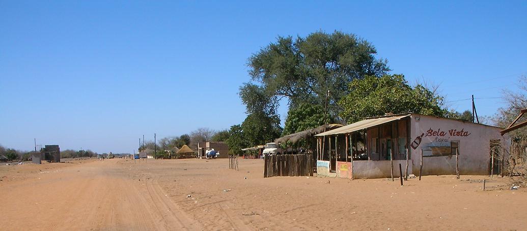
English: Photo of Mapai, Mozambique taken at 9:31 AM local time. Notice the rail line on the left. Camera is looking south. |
||
| Ọjọ́ọdún | |||
| Orísun | Iṣẹ́ onítọ̀hún | ||
| Olùdá | Brian Dell | ||
| Ìyọ̀nda (Ìtúnlò fáìlì yìí) |
|
| Camera location | | View this and other nearby images on: OpenStreetMap |
|---|
Ìtàn fáìlì
Ẹ kan kliki lórí ọjọ́ọdún/àkókò kan láti wo fáìlì ọ̀ún bó ṣe hàn ní àkókò na.
| Ọjọ́ọdún/Àkókò | Àwòrán kékeré | Àwọn ìwọ̀n | Oníṣe | Àríwí | |
|---|---|---|---|---|---|
| lọ́wọ́ | 17:52, 10 Oṣù Kọkànlá 2008 | | 1,035 × 455 (75 KB) | Bdell555 | {{Information |Description={{en|1=photo of Mapai, Mozambique. Notice the rail line on the left. Camera is looking south.}} |Source=Own work by uploader |Author=Brian Dell Bdell555 |Date=15 Sept 2008 9:23 AM local time |Permission= |oth |
Ìlò fáìlì
Kò sí ojúewé tó únlo fáìlì yìí.
Ìlò fáìlì káàkiri
Àwọn wiki míràn wọ̀nyí lo fáìlì yìí:
- Ìlò ní de.wikipedia.org
- Ìlò ní en.wikipedia.org
- Ìlò ní es.wikipedia.org
- Ìlò ní fr.wikipedia.org
- Ìlò ní ha.wikipedia.org
- Ìlò ní ig.wikipedia.org
- Ìlò ní pt.wikipedia.org
- Ìlò ní ts.wikipedia.org
- Ìlò ní uk.wikipedia.org
- Ìlò ní www.wikidata.org
- Ìlò ní zh-min-nan.wikipedia.org
- Ìlò ní zh.wikipedia.org