
Fáìlì:Nouadhibou street2.jpg

Ìtóbi ìkọ́yẹ̀wò yìí: 800 × 536 pixels. Àwọn ìgbéhàn míràn: 320 × 214 pixels | 640 × 429 pixels | 1,024 × 686 pixels | 1,280 × 857 pixels | 1,840 × 1,232 pixels.
Fáìlì àtìbẹ̀rẹ̀ (1,840 × 1,232 pixel, ìtóbi faili: 518 KB, irú MIME: image/jpeg)
|
|
Fáìlì yìí wá láti Wikimedia Commons. Àròyé láti ojúewé ìjúwe rẹ̀ níbẹ̀ nìyí nísàlẹ̀. |
| Camera location | | View this and other nearby images on: OpenStreetMap |
|---|
| Ìjúwe |
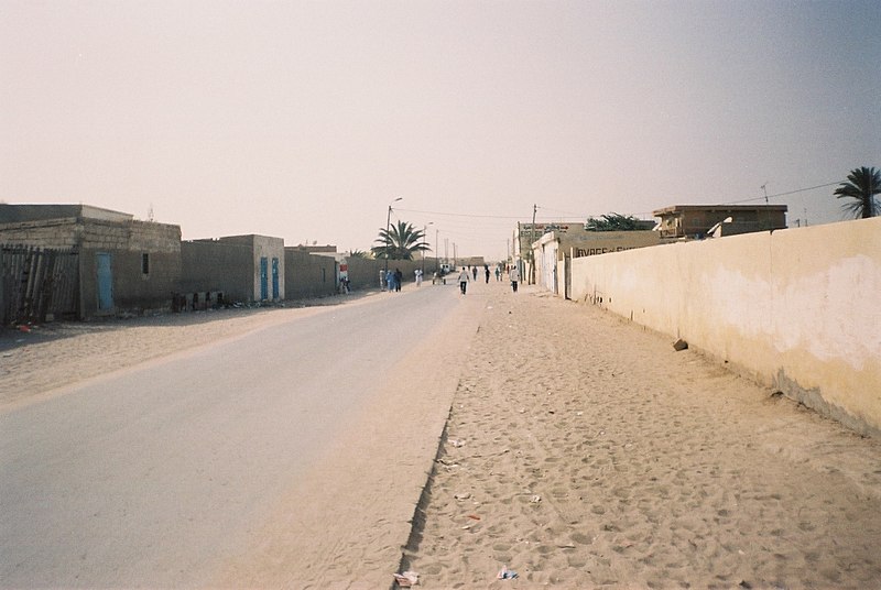
English: A street in Nouadhibou, Mauritania Polski: Ulica w Nawazibu, Mauretania Català: Un carrer a Nouadhibou, Mauritània |
| Ọjọ́ọdún | |
| Orísun | Iṣẹ́ onítọ̀hún |
| Olùdá | Radosław Botev |
| Ìyọ̀nda (Ìtúnlò fáìlì yìí) |
This image is copyrighted by Radosław Botev. Permission is granted to use this picture freely for any purpose - whether commercial or not - and to make derivative works provided that the copyright holder's full name is quoted. You are also hereby permitted to redistribute this file and its derivations to a third party under any license of your choice as long as that license requires attribution to the copyright holder of this work and does not allow to ever revoke that requirement (possible examples are Creative Commons Attribution or GFDL). This shall by no means limit the right of the redistributor of this work or the right of the derivative works' creators to impose other restrictions on the use or further redistribution of this work or its derivations. English français polski +/- |
Èmi gangan, tó jẹ́ pé èmi ni mo ni ẹ̀tọ́àwòkọ iṣẹ́ yìí, fara mọ́ ọ láti tẹ̀ẹ́jáde lábẹ́ ìwé-àṣẹ ìsàlẹ̀ yìí:

|
Ẹni tó ni ẹ̀tọ́ àwòkọ fáìlì yìí gba ẹnikẹ́ni ní ààyè láti lòó fún ohunkóhun, lábẹ́ àdéhùn pé ẹni tó ni ẹ̀tọ́ àwòkọ yìí yíò jẹ́ dídálórúkọ bóbáṣẹyẹ. Ìtúnpínkiri, àtúnṣe sí, ìlò fún títà, àti gbogbo ọ̀nà ìlò mìràn jẹ́ gbígbà ní ààyè. |
|
|
Ìtàn fáìlì
Ẹ kan kliki lórí ọjọ́ọdún/àkókò kan láti wo fáìlì ọ̀ún bó ṣe hàn ní àkókò na.
| Ọjọ́ọdún/Àkókò | Àwòrán kékeré | Àwọn ìwọ̀n | Oníṣe | Àríwí | |
|---|---|---|---|---|---|
| lọ́wọ́ | 23:10, 15 Oṣù Kejìlá 2007 | | 1,840 × 1,232 (518 KB) | Botev | {{Location|20|54|33.62|N|17|03|16.18|W|heading:S}} {{botev license|A street in Nouadhibou, Mauritania|Ulica w Nawazibu, Mauretania|January 19th, 2007|19 stycznia 2007}} Category:Nouadhibou |
Ìlò fáìlì
Ojúewé kan yìí únlo fáìlì yí:
Ìlò fáìlì káàkiri
Àwọn wiki míràn wọ̀nyí lo fáìlì yìí:
- Ìlò ní arz.wikipedia.org
- Ìlò ní az.wikipedia.org
- Ìlò ní br.wikipedia.org
- Ìlò ní ca.wikipedia.org
- Ìlò ní ceb.wikipedia.org
- Ìlò ní cs.wikipedia.org
- Ìlò ní cy.wikipedia.org
- Ìlò ní de.wikivoyage.org
- Ìlò ní el.wikipedia.org
- Ìlò ní en.wikipedia.org
- Ìlò ní en.wikivoyage.org
- Ìlò ní eo.wikipedia.org
- Ìlò ní es.wikipedia.org
- Ìlò ní eu.wikipedia.org
- Ìlò ní fa.wikipedia.org
- Ìlò ní fr.wikivoyage.org
- Ìlò ní ha.wikipedia.org
- Ìlò ní he.wikipedia.org
- Ìlò ní he.wikivoyage.org
- Ìlò ní hr.wikipedia.org
- Ìlò ní ia.wikipedia.org
- Ìlò ní id.wikipedia.org
- Ìlò ní ig.wikipedia.org
- Ìlò ní it.wikivoyage.org
- Ìlò ní ja.wikipedia.org
- Ìlò ní ja.wikivoyage.org
- Ìlò ní ko.wikipedia.org
- Ìlò ní ms.wikipedia.org
- Ìlò ní mt.wikipedia.org
- Ìlò ní pl.wikipedia.org
- Ìlò ní pt.wikipedia.org
- Ìlò ní sr.wikipedia.org
- Ìlò ní sv.wikipedia.org
- Ìlò ní sw.wikipedia.org
- Ìlò ní tr.wikipedia.org
- Ìlò ní ts.wikipedia.org
- Ìlò ní uk.wikipedia.org
- Ìlò ní ur.wikipedia.org
- Ìlò ní vi.wikipedia.org
- Ìlò ní www.wikidata.org
- Ìlò ní zh.wikivoyage.org
- Ìlò ní zu.wikipedia.org