
Fáìlì:Žilina Region demis background map.png
Ìtóbi ìkọ́yẹ̀wò yìí: 778 × 600 pixels. Àwọn ìgbéhàn míràn: 312 × 240 pixels | 623 × 480 pixels | 996 × 768 pixels | 1,280 × 987 pixels | 1,357 × 1,046 pixels.
Fáìlì àtìbẹ̀rẹ̀ (1,357 × 1,046 pixel, ìtóbi faili: 1.18 MB, irú MIME: image/png)
|
|
Fáìlì yìí wá láti Wikimedia Commons. Àròyé láti ojúewé ìjúwe rẹ̀ níbẹ̀ nìyí nísàlẹ̀. |
Àkótán
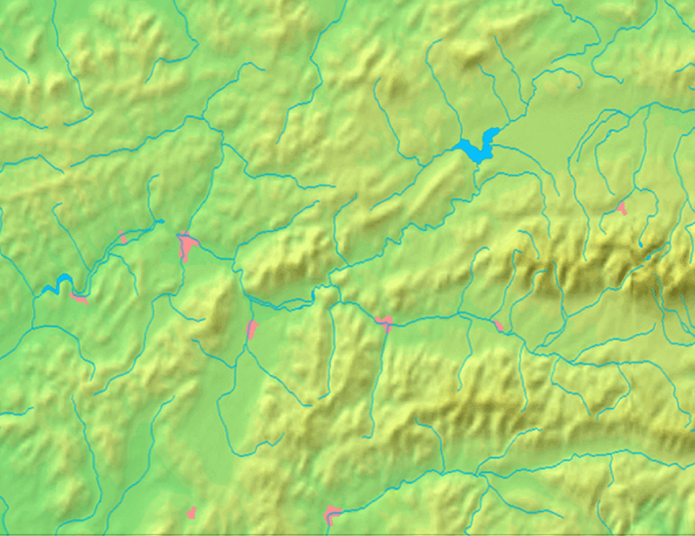
| Ìjúwe | Background map of the Žilina Region, Slovakia, the same boundaries as Image:Žilina Region with districts map.svg | ||||
| Ọjọ́ọdún | |||||
| Orísun | Made my myself from free maps available at www.demis.nl | ||||
| Olùdá | Caroig | ||||
| Ìyọ̀nda (Ìtúnlò fáìlì yìí) |
|
Ìtàn fáìlì
Ẹ kan kliki lórí ọjọ́ọdún/àkókò kan láti wo fáìlì ọ̀ún bó ṣe hàn ní àkókò na.
| Ọjọ́ọdún/Àkókò | Àwòrán kékeré | Àwọn ìwọ̀n | Oníṣe | Àríwí | |
|---|---|---|---|---|---|
| lọ́wọ́ | 08:40, 3 Oṣù Kẹ̀sán 2007 | | 1,357 × 1,046 (1.18 MB) | Caroig | == Summary == {{Information |Description=Background map of the Žilina Region, Slovakia, the same boundaries as Image:Žilina Region with districts map.png |SourceMade my myself from free maps available at www.demis.nl |Date=2007-09-03 |Author=[[:en: |
Ìlò fáìlì
Kò sí ojúewé tó únlo fáìlì yìí.