
Fáìlì:Flag of East Nusa Tenggara.svg

Size of this PNG preview of this SVG file: 800 × 560 pixels. Àwọn ìgbéhàn míràn: 320 × 224 pixels | 640 × 448 pixels | 1,024 × 717 pixels | 1,280 × 896 pixels | 2,560 × 1,792 pixels | 1,500 × 1,050 pixels.
Fáìlì àtìbẹ̀rẹ̀ (faili SVG, pẹ̀lú 1,500 × 1,050 pixels, ìtòbi faili: 329 KB)
|
|
Fáìlì yìí wá láti Wikimedia Commons. Àròyé láti ojúewé ìjúwe rẹ̀ níbẹ̀ nìyí nísàlẹ̀. |
| Ìjúwe |
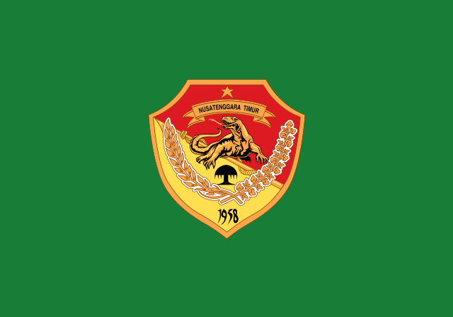
English: Flag of East Nusa Tenggara, See legal regulation about the flag. Bahasa Indonesia: Bendera Nusa Tenggara Timur, Lihat peraturan hukum tentang bendera tersebut. |
|||||
| Ọjọ́ọdún | ||||||
| Orísun | Vector version of this file at Commons. Help from Coat of arms of East Nusa Tenggara. | |||||
| Olùdá |
This W3C-unspecified vector image was created with Inkscape . |
|||||
| Ìyọ̀nda (Ìtúnlò fáìlì yìí) |
Èmi gangan, tó jẹ́ pé èmi ni mo ni ẹ̀tọ́àwòkọ iṣẹ́ yìí, fara mọ́ ọ láti tẹ̀ẹ́jáde lábẹ́ àwọn ìwé-àṣẹ ìsàlẹ̀ yìí: Fáìlì yìí wà lábẹ́ ìwé àṣẹ Creative Commons Ìdálórúkọ-Share Alike 3.0 Aláìkówọlé.
Ẹ le ṣàmúyàn ìwé-àṣẹ tí ó wù yín. |
|||||
| Àwọn àtẹ̀jáde míràn | East Nusa Tenggara flag.png |


Ìtàn fáìlì
Ẹ kan kliki lórí ọjọ́ọdún/àkókò kan láti wo fáìlì ọ̀ún bó ṣe hàn ní àkókò na.
| Ọjọ́ọdún/Àkókò | Àwòrán kékeré | Àwọn ìwọ̀n | Oníṣe | Àríwí | |
|---|---|---|---|---|---|
| lọ́wọ́ | 01:29, 5 Oṣù Kẹrin 2015 | | 1,500 × 1,050 (329 KB) | Muffin Wizard | fix size to balance all Indonesian province flags |
| 10:11, 29 Oṣù Keje 2014 |  | 600 × 375 (262 KB) | Asadwarraich | {{Information |Description=East Nusa Tenggara Flag |Source=Vector version of this file at Commons. Help from Coat of arms of East Nusa Tenggara. |Date=29-07-2014 |Author=[[Use... |
Ìlò fáìlì
Ojúewé kan yìí únlo fáìlì yí:
Ìlò fáìlì káàkiri
Àwọn wiki míràn wọ̀nyí lo fáìlì yìí:
- Ìlò ní af.wikipedia.org
- Ìlò ní ar.wikipedia.org
- Ìlò ní ban.wikipedia.org
- Ìlò ní be.wikipedia.org
- Ìlò ní bjn.wikipedia.org
- Ìlò ní bn.wikipedia.org
- Ìlò ní ca.wikipedia.org
- Ìlò ní ceb.wikipedia.org
- Ìlò ní ckb.wikipedia.org
- Ìlò ní cs.wikipedia.org
- Ìlò ní de.wikivoyage.org
- Ìlò ní en.wikipedia.org
- Timor
- West Timor
- ISO 3166-2:ID
- List of islands by population
- List of language names
- Kupang
- List of divided islands
- Sikka Regency
- Ende Regency
- TVRI
- Melanesian Spearhead Group
- West Sumba Regency
- Alor Regency
- Belu Regency
- Central Sumba Regency
- List of political and geographic subdivisions by total area from 20,000 to 50,000 square kilometers
- List of political and geographic subdivisions by total area (all)
- List of political and geographic subdivisions by total area from 30,000 to 50,000 square kilometers
- Ngada Regency
- East Sumba Regency
- West Manggarai Regency
- East Flores Regency
Ìfihàn ìlò míràn púpọ̀ fún fálì yìí.