
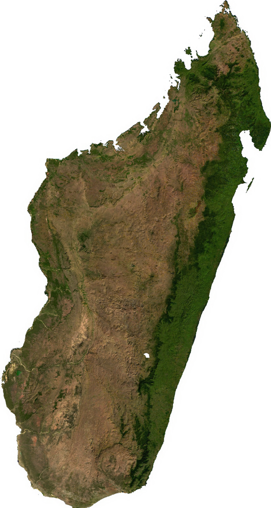
Fáìlì:Madagascar sat.png
Ìtóbi ìkọ́yẹ̀wò yìí: 320 × 599 pixels. Àwọn ìgbéhàn míràn: 256 × 480 pixels | 876 × 1,640 pixels.
Fáìlì àtìbẹ̀rẹ̀ (876 × 1,640 pixel, ìtóbi faili: 1.45 MB, irú MIME: image/png)
|
|
Fáìlì yìí wá láti Wikimedia Commons. Àròyé láti ojúewé ìjúwe rẹ̀ níbẹ̀ nìyí nísàlẹ̀. |
Àkótán
| Ìjúwe | |
| Ọjọ́ọdún | Ọjọ́ọdún àìmọ̀ |
| Orísun | Generated using free sources available at The Map Library |
| Olùdá |
Ìwé àṣẹ
| This file is in the public domain, because it was generated by a user, using free sources available at The Map Library.
Note that this does not include the maps in the Global Administrative Areas section of the homepage. |
Ìtàn fáìlì
Ẹ kan kliki lórí ọjọ́ọdún/àkókò kan láti wo fáìlì ọ̀ún bó ṣe hàn ní àkókò na.
| Ọjọ́ọdún/Àkókò | Àwòrán kékeré | Àwọn ìwọ̀n | Oníṣe | Àríwí | |
|---|---|---|---|---|---|
| lọ́wọ́ | 02:31, 14 Oṣù Keje 2006 | | 876 × 1,640 (1.45 MB) | Unquietwiki | ECW to TIFF to PNG (compression level 9). {{PD-MapLibrary}} |
Ìlò fáìlì
Ojúewé kan yìí únlo fáìlì yí:
Ìlò fáìlì káàkiri
Àwọn wiki míràn wọ̀nyí lo fáìlì yìí:
- Ìlò ní ar.wikipedia.org
- Ìlò ní ast.wikipedia.org
- Ìlò ní bcl.wikipedia.org
- Ìlò ní bg.wikipedia.org
- Ìlò ní bn.wikipedia.org
- Ìlò ní en.wikipedia.org
- Ìlò ní fr.wikipedia.org
- Ìlò ní it.wikipedia.org
- Ìlò ní ka.wikipedia.org
- Ìlò ní lt.wikipedia.org
- Ìlò ní mg.wikipedia.org
- Ìlò ní my.wikipedia.org
- Ìlò ní pnb.wikipedia.org
- Ìlò ní pt.wikipedia.org
- Ìlò ní ro.wikipedia.org
- Ìlò ní sl.wikipedia.org
- Ìlò ní th.wikipedia.org
- Ìlò ní tl.wikipedia.org
- Ìlò ní uk.wikipedia.org
- Ìlò ní ur.wikipedia.org
- Ìlò ní vec.wikipedia.org
- Ìlò ní vi.wikipedia.org
- Ìlò ní www.wikidata.org
- Ìlò ní zh-yue.wikipedia.org
- Ìlò ní zh.wikipedia.org