
Fáìlì:Papua New Guinea location map.svg

Size of this PNG preview of this SVG file: 800 × 481 pixels. Àwọn ìgbéhàn míràn: 320 × 192 pixels | 640 × 385 pixels | 1,024 × 615 pixels | 1,280 × 769 pixels | 2,560 × 1,538 pixels | 2,280 × 1,370 pixels.
Fáìlì àtìbẹ̀rẹ̀ (faili SVG, pẹ̀lú 2,280 × 1,370 pixels, ìtòbi faili: 501 KB)
|
|
Fáìlì yìí wá láti Wikimedia Commons. Àròyé láti ojúewé ìjúwe rẹ̀ níbẹ̀ nìyí nísàlẹ̀. |
Àkótán
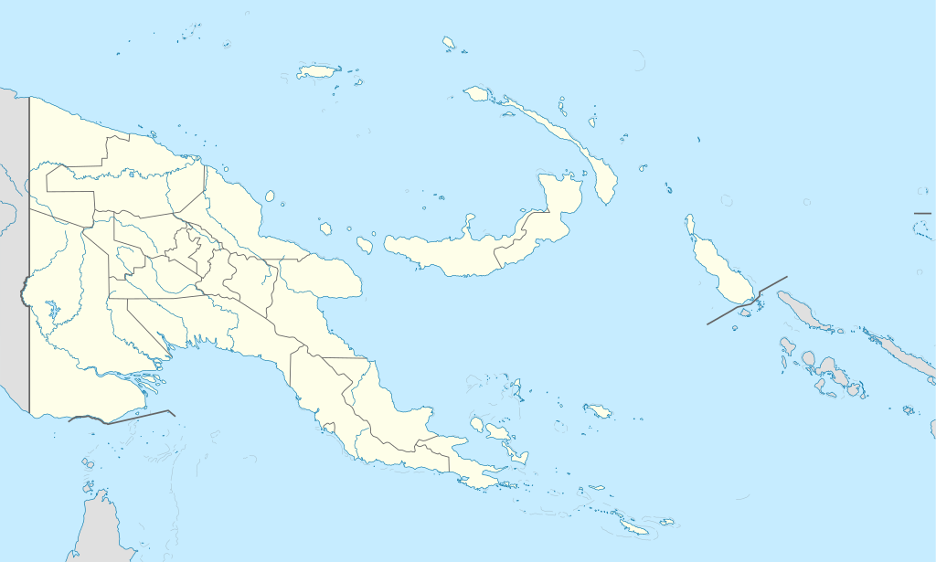
| Ìjúwe |
Deutsch: Positionskarte von Papua-Neuguinea
Quadratische Plattkarte. Geographische Begrenzung der Karte:
English: Location map of Papua New Guinea
Equirectangular projection. Geographic limits of the map:
|
| Ọjọ́ọdún | 05-09-2008 |
| Orísun |
own work, using
|
| Olùdá | NordNordWest |
| Àwọn àtẹ̀jáde míràn |
|


|
This map has been made or improved in the German Kartenwerkstatt (Map Lab). You can propose maps to improve as well.
|
Ìwé àṣẹ
Èmi gangan, tó jẹ́ pé èmi ni mo ni ẹ̀tọ́àwòkọ iṣẹ́ yìí, fara mọ́ ọ láti tẹ̀ẹ́jáde lábẹ́ àwọn ìwé-àṣẹ ìsàlẹ̀ yìí:

|
Ìyọ̀nda wà láti ṣe àwòkọ, láti pínkàkiri àti/tàbí ṣ'àtúnse ìwé yìí l'ábẹ́ àwọn ọ̀rọ̀ àdéhùn GNU Free Documentation License, Version 1.2 tàbí ìtẹ̀jáde ọjọ́ọwájú lát'ọwọ́ Free Software Foundation; láìsí àwọn Ẹsẹ Aláìyàtọ̀, láìsí àwọn Ọ̀rọ̀-ìwé Níwájú, àti láìsí Ọ̀rọ̀-ìwé Lẹ́yìn. Àwòkọ ìwé àṣẹ náà jẹ́ sísopọ̀ mọ́ abala tí àkọlé rẹ̀ jẹ́ GNU Free Documentation License. |
Fáìlì yìí wà lábẹ́ ìwé àṣẹ Creative Commons Ìdálórúkọ-Share Alike 3.0 Aláìkówọlé.
- Ẹ ní ààyè:
- láti pín pẹ̀lú ẹlòmíràn – láti ṣàwòkọ, pínkiri àti ṣàgbéká iṣẹ́ náà
- láti túndàpọ̀ – láti mulò mọ́ iṣẹ́ míràn
- Lábẹ́ àwọn àdéhùn wọ̀nyí:
- ìdárúkọ – Ẹ gbọdọ̀ ṣe ọ̀wọ̀ tó yẹ, pèsè ìjápọ̀ sí ìwé-àṣe, kí ẹ sì sọ bóyá ìyípadà wáyé. Ẹ le ṣe èyí lórísi ọ̀nà tó bojúmu, sùgbọ́n tí kò ní dà bii pé oníìwé-àṣe fọwọ́ sí yín tàbí lílò yín.
- share alike – Tó bá ṣe pé ẹ ṣ'àtúndàlú, ṣàyípadà, tàbí ṣ'àgbélé sí iṣẹ́-ọwọ́ náà, ẹ lè ṣe ìgbésíta àfikún yín lábẹ́ ìwé-àṣẹ kannáà tàbí tójọra mọ́ ti àtilẹ̀wa.
Ẹ le ṣàmúyàn ìwé-àṣẹ tí ó wù yín.
Ìtàn fáìlì
Ẹ kan kliki lórí ọjọ́ọdún/àkókò kan láti wo fáìlì ọ̀ún bó ṣe hàn ní àkókò na.
| Ọjọ́ọdún/Àkókò | Àwòrán kékeré | Àwọn ìwọ̀n | Oníṣe | Àríwí | |
|---|---|---|---|---|---|
| lọ́wọ́ | 15:48, 5 Oṣù Òkúdu 2012 | | 2,280 × 1,370 (501 KB) | NordNordWest | upd |
| 07:49, 26 Oṣù Ẹ̀bìbì 2011 |  | 2,280 × 1,370 (767 KB) | NordNordWest | Reverted to version as of 19:42, 8 December 2009 no need to revert | |
| 23:00, 25 Oṣù Ẹ̀bìbì 2011 |  | 2,280 × 1,370 (674 KB) | AlexR.L. | Reverted to version as of 19:51, 5 September 2008 | |
| 19:42, 8 Oṣù Ọ̀pẹ̀ 2009 |  | 2,280 × 1,370 (767 KB) | NordNordWest | + rivers | |
| 19:51, 5 Oṣù Òwéwe 2008 |  | 2,280 × 1,370 (674 KB) | NordNordWest | {{Information |Description= {{de|Positionskarte von Papua-Neuguinea}} Quadratische Plattkarte. Geographische Begrenzung der Karte: * N: 0.6° S * S: 12.2° S * W: 140.4° O * O: 159.7° O {{en|Location map of [[:en:Papua New Guinea |
Ìlò fáìlì
Kò sí ojúewé tó únlo fáìlì yìí.
Ìlò fáìlì káàkiri
Àwọn wiki míràn wọ̀nyí lo fáìlì yìí:
- Ìlò ní af.wikipedia.org
- Ìlò ní als.wikipedia.org
- Vorlage:Positionskarte Papua-Neuguinea
- Port Moresby
- Bismarck-Archipel
- Neubritannien
- Duke-of-York-Inseln
- Admiralitäts-Inseln
- D’Entrecasteaux-Inseln
- Lavongai
- Westliche Inseln
- Feni-Inseln
- Lihir-Inseln
- Tabar-Inseln
- Tanga-Inseln
- St.-Matthias-Inseln
- Vitu-Inseln
- Neuirland
- Louisiade-Archipel
- Marshall-Bennett-Inseln
- Woodlark-Insel
- Trobriand-Inseln
- Mount Wilhelm
- Ìlò ní an.wikipedia.org
- Ìlò ní ar.wikipedia.org
- Ìlò ní ast.wikipedia.org
- Puertu Moresbi
- Nueva Bretaña
- Montes Herzog
- Archipiélagu Bismarck
- Islles del Duque de York
- Tabubil
- Islla Daru
- Estrechu de Dampier
- Islles del Almirantalgu
- Monte Lamington
- Archipiélagu de les Lluisiaes
- Aeropuertu Internacional de Jacksons
- Aeropuertu de Guasopa
- Puertu de Dreger
- Módulu:Mapa de llocalización/datos/Papúa Nueva Guinea
- Módulu:Mapa de llocalización/datos/Papúa Nueva Guinea/usu
- Islles d'Entrecasteaux
- Provincia de Nueva Bretaña Occidental
- Islles Trobriand
- Kitava
- Vakuta
Ìfihàn ìlò míràn púpọ̀ fún fálì yìí.