
Fáìlì:Philippines relief location map (Mindanao).svg

Size of this PNG preview of this SVG file: 656 × 486 pixels. Àwọn ìgbéhàn míràn: 320 × 237 pixels | 640 × 474 pixels | 1,024 × 759 pixels | 1,280 × 948 pixels | 2,560 × 1,897 pixels.
Fáìlì àtìbẹ̀rẹ̀ (faili SVG, pẹ̀lú 656 × 486 pixels, ìtòbi faili: 2.21 MB)
|
|
Fáìlì yìí wá láti Wikimedia Commons. Àròyé láti ojúewé ìjúwe rẹ̀ níbẹ̀ nìyí nísàlẹ̀. |
.svg)
Àkótán
| Ìjúwe |
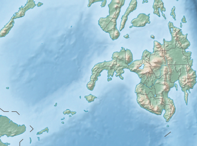
English: Physical location map of the Philippines (Mindanao)
Equirectangular projection based on the parallel of 10°43' N
|
| Ọjọ́ọdún | |
| Orísun | File:Philippines location map (square).svg |
| Olùdá | User:Hellerick |
| Àwọn àtẹ̀jáde míràn |
This file was derived from: Philippines relief location map (square).svg: .svg) |
.svg)
Ìwé àṣẹ
Fáìlì yìí wà lábẹ́ ìwé àṣẹ Creative Commons Ìdálórúkọ-Share Alike 3.0 Aláìkówọlé.
- Ẹ ní ààyè:
- láti pín pẹ̀lú ẹlòmíràn – láti ṣàwòkọ, pínkiri àti ṣàgbéká iṣẹ́ náà
- láti túndàpọ̀ – láti mulò mọ́ iṣẹ́ míràn
- Lábẹ́ àwọn àdéhùn wọ̀nyí:
- ìdárúkọ – Ẹ gbọdọ̀ ṣe ọ̀wọ̀ tó yẹ, pèsè ìjápọ̀ sí ìwé-àṣe, kí ẹ sì sọ bóyá ìyípadà wáyé. Ẹ le ṣe èyí lórísi ọ̀nà tó bojúmu, sùgbọ́n tí kò ní dà bii pé oníìwé-àṣe fọwọ́ sí yín tàbí lílò yín.
- share alike – Tó bá ṣe pé ẹ ṣ'àtúndàlú, ṣàyípadà, tàbí ṣ'àgbélé sí iṣẹ́-ọwọ́ náà, ẹ lè ṣe ìgbésíta àfikún yín lábẹ́ ìwé-àṣẹ kannáà tàbí tójọra mọ́ ti àtilẹ̀wa.
Ìtàn fáìlì
Ẹ kan kliki lórí ọjọ́ọdún/àkókò kan láti wo fáìlì ọ̀ún bó ṣe hàn ní àkókò na.
| Ọjọ́ọdún/Àkókò | Àwòrán kékeré | Àwọn ìwọ̀n | Oníṣe | Àríwí | |
|---|---|---|---|---|---|
| lọ́wọ́ | 14:36, 27 Oṣù Ọ̀wàrà 2017 | | 656 × 486 (2.21 MB) | Mliu92 | Updated crop to add missing island. |
| 17:23, 26 Oṣù Ọ̀wàrà 2017 |  | 573 × 573 (2.21 MB) | Mliu92 | User created page with UploadWizard |
Ìlò fáìlì
Kò sí ojúewé tó únlo fáìlì yìí.
Ìlò fáìlì káàkiri
Àwọn wiki míràn wọ̀nyí lo fáìlì yìí:
- Ìlò ní bcl.wikipedia.org
- Ìlò ní bn.wikipedia.org
- Ìlò ní en.wikipedia.org
- Sulu Sea
- Moro Gulf
- Mount Apo
- Davao Gulf
- Iligan Bay
- Panguil Bay
- Bud Dajo
- Mount Butung
- Agusan River
- Lake Lanao
- Rio Grande de Mindanao
- Butuan Bay
- Mount Agad-Agad
- Mount Hibok-Hibok
- Mount Makaturing
- Mount Matutum
- Musuan Peak
- Agus River
- Sibuguey Bay
- Illana Bay
- Mount Sumagaya
- Dinagat Island
- Davao River
- Leonard Kniaseff
- Mount Kitanglad
- Macajalar Bay
- Pulangi River
- Cagayan River (Mindanao)
- Mount Dulang-dulang
- Tagoloan River
- Lake Buluan
- Lake Wood (Philippines)
- Lake Dapao
- Mount Malindang
- Mount Kalatungan
- Latukan
- Mount Balatukan
- Mount Hamiguitan
- Mount Baya
- Agusan Marsh Wildlife Sanctuary
- Camp General Basilio Navarro
- 2010 Mindanao earthquakes
- Manupali River
Ìfihàn ìlò míràn púpọ̀ fún fálì yìí.
.svg)
.svg)