
Fáìlì:Map of municipalities of Colombia 2007.svg

Size of this PNG preview of this SVG file: 506 × 600 pixels. Àwọn ìgbéhàn míràn: 202 × 240 pixels | 405 × 480 pixels | 648 × 768 pixels | 864 × 1,024 pixels | 1,727 × 2,048 pixels | 512 × 607 pixels.
Fáìlì àtìbẹ̀rẹ̀ (faili SVG, pẹ̀lú 512 × 607 pixels, ìtòbi faili: 3.01 MB)
|
|
Fáìlì yìí wá láti Wikimedia Commons. Àròyé láti ojúewé ìjúwe rẹ̀ níbẹ̀ nìyí nísàlẹ̀. |
Àkótán
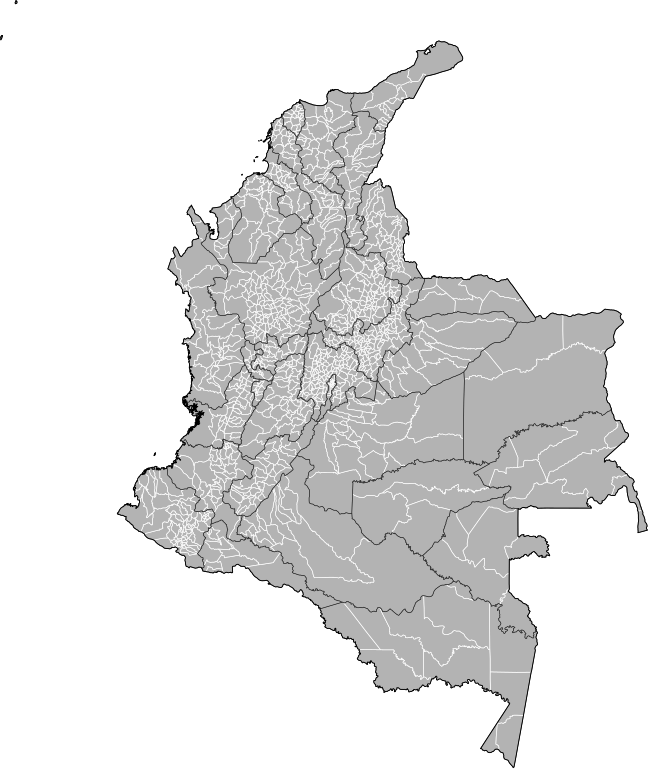
| Ìjúwe | Map of the municipalities of Colombia. Created by Rarelibra 15:39, 23 October 2007 (UTC) for public domain use, using MapInfo Professional v8.5 and various mapping resources. NOTE: Map includes the localidades of Bogota. |
| Ọjọ́ọdún | 23 Oṣù Kẹ̀wá 2007 (original upload date) |
| Orísun | No machine-readable source provided. Own work assumed (based on copyright claims). |
| Olùdá | No machine-readable author provided. Rarelibra assumed (based on copyright claims). |
Ìwé àṣẹ
| Èmi gangan, tó jẹ́ pé èmi ni mo ni ẹ̀tọ́àwòkọ iṣẹ́ yìí, jọ̀wọ́ ìṣẹ́ yìí sínú ìgboro. Èyí kan gbogbo ayé. In some countries this may not be legally possible; if so: I grant anyone the right to use this work for any purpose, without any conditions, unless such conditions are required by law. |
Ìtàn fáìlì
Ẹ kan kliki lórí ọjọ́ọdún/àkókò kan láti wo fáìlì ọ̀ún bó ṣe hàn ní àkókò na.
| Ọjọ́ọdún/Àkókò | Àwòrán kékeré | Àwọn ìwọ̀n | Oníṣe | Àríwí | |
|---|---|---|---|---|---|
| lọ́wọ́ | 20:59, 4 Oṣù Kejì 2013 | | 512 × 607 (3.01 MB) | Milenioscuro | correction of some departmental borders |
| 22:51, 21 Oṣù Kejì 2012 |  | 512 × 607 (3 MB) | Milenioscuro | added locator, thick lines | |
| 22:38, 21 Oṣù Kejì 2012 |  | 512 × 607 (2.96 MB) | Milenioscuro | added new municipalities, larger size | |
| 18:53, 24 Oṣù Kẹ̀wá 2007 |  | 512 × 323 (2.47 MB) | Rarelibra | corrected version - thank you to User Bogomolov for pointing out the error! | |
| 15:39, 23 Oṣù Kẹ̀wá 2007 |  | 512 × 324 (2.42 MB) | Rarelibra | Map of the municipalities of Colombia. Created by ~~~~ for public domain use, using MapInfo Professional v8.5 and various mapping resources. |
Ìlò fáìlì
Kò sí ojúewé tó únlo fáìlì yìí.
Ìlò fáìlì káàkiri
Àwọn wiki míràn wọ̀nyí lo fáìlì yìí:
- Ìlò ní fr.wikipedia.org