
Fáìlì:Myrskyla municipality in Finland.JPG
Fáìlì àtìbẹ̀rẹ̀ (1,024 × 683 pixel, ìtóbi faili: 169 KB, irú MIME: image/jpeg)
|
|
Fáìlì yìí wá láti Wikimedia Commons. Àròyé láti ojúewé ìjúwe rẹ̀ níbẹ̀ nìyí nísàlẹ̀. |
Àkótán
| Ìjúwe |
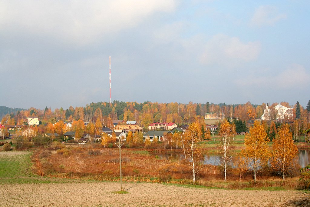
The municipality of Myrskyla (Myrskylä in Finnish and Mörskom in Swedish) Founded: 1636 Geographical position: N 60°39.482' E 025°51.375' (nearby) The southern part of the main village protographed N 60°39.908' E 025°50.769' Photograph: Canon EOS 350D, Canon Zoom Lens EF-S 18-55 mm 1:3.5-5.6 II Olli-Jukka Paloneva, paloneva@phnet.fi (Attribution recommendable) References: The municipality of Myrskyla http://www.myrskyla.fi |
| Ọjọ́ọdún | 12 Oṣù Kẹ̀wá 2005 (according to Exif data) |
| Orísun | No machine-readable source provided. Own work assumed (based on copyright claims). |
| Olùdá | No machine-readable author provided. Ojp assumed (based on copyright claims). |
Ìwé àṣẹ
| Èmi gangan, tó jẹ́ pé èmi ni mo ni ẹ̀tọ́àwòkọ iṣẹ́ yìí, jọ̀wọ́ ìṣẹ́ yìí sínú ìgboro. Èyí kan gbogbo ayé. In some countries this may not be legally possible; if so: I grant anyone the right to use this work for any purpose, without any conditions, unless such conditions are required by law. |
Ìtàn fáìlì
Ẹ kan kliki lórí ọjọ́ọdún/àkókò kan láti wo fáìlì ọ̀ún bó ṣe hàn ní àkókò na.
| Ọjọ́ọdún/Àkókò | Àwòrán kékeré | Àwọn ìwọ̀n | Oníṣe | Àríwí | |
|---|---|---|---|---|---|
| lọ́wọ́ | 00:29, 3 Oṣù Kẹ̀sán 2006 | | 1,024 × 683 (169 KB) | Ojp | == Summary == The municipality of '''Myrskyla (Myrskylä in Finnish and Mörskom in Swedish)''' '''Founded:''' 1636 '''Geographical position''': N 60°39.482' E 025°51.375' (nearby) '''The southern part of the main village''' protographed N 60°39.908 |
Ìlò fáìlì
Ojúewé kan yìí únlo fáìlì yí:
Ìlò fáìlì káàkiri
Àwọn wiki míràn wọ̀nyí lo fáìlì yìí:
- Ìlò ní ceb.wikipedia.org
- Ìlò ní en.wikipedia.org
- Ìlò ní et.wikipedia.org
- Ìlò ní eu.wikipedia.org
- Ìlò ní fa.wikipedia.org
- Ìlò ní fi.wikipedia.org
- Ìlò ní smn.wikipedia.org
- Ìlò ní sv.wikipedia.org
- Ìlò ní tr.wikipedia.org
- Ìlò ní www.wikidata.org