
Fáìlì:1598 Mosambique Kaerius.jpg
Ìtóbi ìkọ́yẹ̀wò yìí: 800 × 553 pixels. Àwọn ìgbéhàn míràn: 320 × 221 pixels | 640 × 442 pixels | 1,024 × 708 pixels | 1,280 × 885 pixels | 1,930 × 1,334 pixels.
Fáìlì àtìbẹ̀rẹ̀ (1,930 × 1,334 pixel, ìtóbi faili: 1.24 MB, irú MIME: image/jpeg)
|
|
Fáìlì yìí wá láti Wikimedia Commons. Àròyé láti ojúewé ìjúwe rẹ̀ níbẹ̀ nìyí nísàlẹ̀. |
Àkótán
| Ìjúwe |
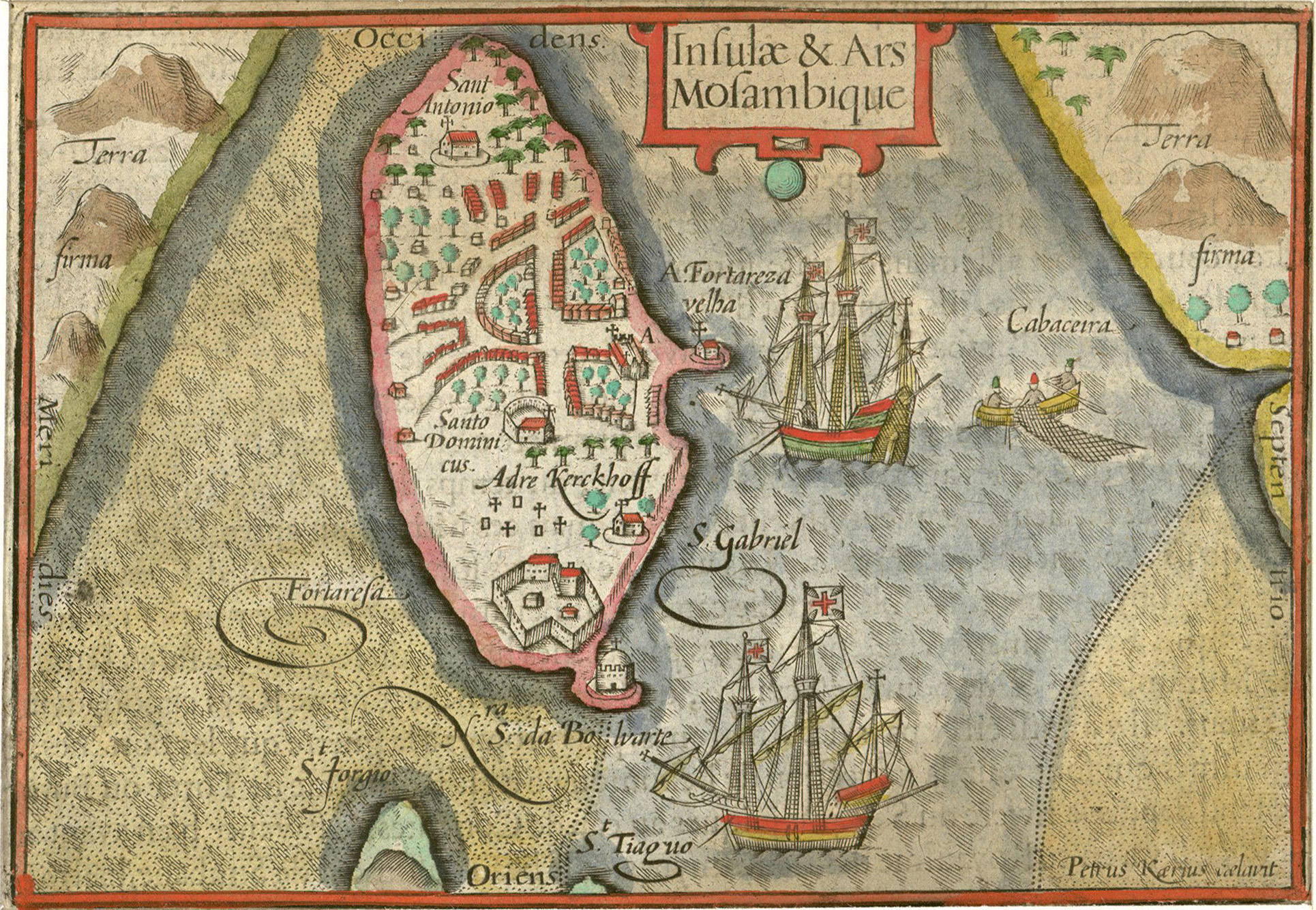
Nederlands: Kaartje van het eiland Mozambique
Português: "Insulae & Ars Mosambique" ("Ilha e fortaleza de Moçambique", Pieter van den Keere, 1598). |
|||||||||||||||||||||||||
| Ọjọ́ọdún | ||||||||||||||||||||||||||
| Orísun | Historiccities | |||||||||||||||||||||||||
| Olùdá |
|
|||||||||||||||||||||||||
| Object location | | View this and other nearby images on: OpenStreetMap |
|---|
Ìwé àṣẹ
|
This work is in the public domain in its country of origin and other countries and areas where the copyright term is the author's life plus 100 years or fewer. This work is in the public domain in the United States because it was published (or registered with the U.S. Copyright Office) before January 1, 1929. | |
| This file has been identified as being free of known restrictions under copyright law, including all related and neighboring rights. | |
Ìtàn fáìlì
Ẹ kan kliki lórí ọjọ́ọdún/àkókò kan láti wo fáìlì ọ̀ún bó ṣe hàn ní àkókò na.
| Ọjọ́ọdún/Àkókò | Àwòrán kékeré | Àwọn ìwọ̀n | Oníṣe | Àríwí | |
|---|---|---|---|---|---|
| lọ́wọ́ | 09:32, 16 Oṣù Kejìlá 2010 | | 1,930 × 1,334 (1.24 MB) | Joopr | {{Information |Description={{nl|1=Kaartje van het eiland Mozambique}} |Source=[http://historic-cities.huji.ac.il/mozambique/mozambique/maps/langenes_kaerius_mozambique.html Historiccities] |Author=Pieter v d Keere |Date=1598 |Permission= |other_versions= |
Ìlò fáìlì
Ojúewé kan yìí únlo fáìlì yí:
Ìlò fáìlì káàkiri
Àwọn wiki míràn wọ̀nyí lo fáìlì yìí:
- Ìlò ní af.wikipedia.org
- Ìlò ní ar.wikipedia.org
- Ìlò ní avk.wikipedia.org
- Ìlò ní az.wikipedia.org
- Ìlò ní ca.wikipedia.org
- Ìlò ní en.wikipedia.org
- Ìlò ní es.wikipedia.org
- Ìlò ní fa.wikipedia.org
- Ìlò ní fr.wikipedia.org
- Ìlò ní ha.wikipedia.org
- Ìlò ní hr.wikipedia.org
- Ìlò ní hy.wikipedia.org
- Ìlò ní id.wikipedia.org
- Ìlò ní io.wikipedia.org
- Ìlò ní it.wikipedia.org
- Ìlò ní ja.wikipedia.org
- Ìlò ní ka.wikipedia.org
- Ìlò ní mg.wikipedia.org
- Ìlò ní mt.wikipedia.org
- Ìlò ní nl.wikipedia.org
- Ìlò ní pl.wikipedia.org
- Ìlò ní pt.wikipedia.org
- Ìlò ní pt.wikibooks.org
- Ìlò ní ru.wikipedia.org
- Ìlò ní sh.wikipedia.org
- Ìlò ní sr.wikipedia.org
- Ìlò ní vi.wikipedia.org
- Ìlò ní zh.wikipedia.org