
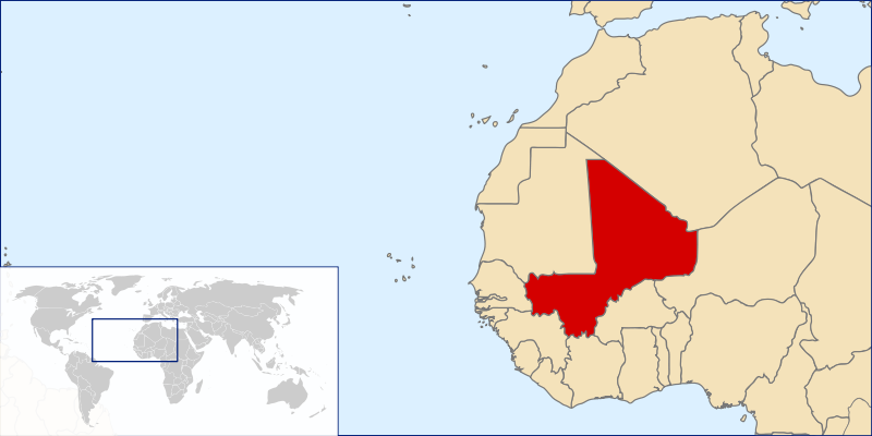
Fáìlì:LocationMali.svg

Size of this PNG preview of this SVG file: 800 × 400 pixels. Àwọn ìgbéhàn míràn: 320 × 160 pixels | 640 × 320 pixels | 1,024 × 512 pixels | 1,280 × 640 pixels | 2,560 × 1,280 pixels | 1,000 × 500 pixels.
Fáìlì àtìbẹ̀rẹ̀ (faili SVG, pẹ̀lú 1,000 × 500 pixels, ìtòbi faili: 2.76 MB)
|
|
Fáìlì yìí wá láti Wikimedia Commons. Àròyé láti ojúewé ìjúwe rẹ̀ níbẹ̀ nìyí nísàlẹ̀. |
| Ìjúwe |
|
| Ọjọ́ọdún | (UTC) |
| Orísun | Original by User:Vardion, Image:A large blank world map with oceans marked in blue.svg |
| Olùdá |
|
| Ìyọ̀nda (Ìtúnlò fáìlì yìí) |
Own work, copyleft: Multi-license with GFDL and Creative Commons CC-BY-SA-2.5 and older versions (2.0 and 1.0) |
Èmi gangan, tó jẹ́ pé èmi ni mo ni ẹ̀tọ́àwòkọ iṣẹ́ yìí, fara mọ́ ọ láti tẹ̀ẹ́jáde lábẹ́ àwọn ìwé-àṣẹ ìsàlẹ̀ yìí:

|
Ìyọ̀nda wà láti ṣe àwòkọ, láti pínkàkiri àti/tàbí ṣ'àtúnse ìwé yìí l'ábẹ́ àwọn ọ̀rọ̀ àdéhùn GNU Free Documentation License, Version 1.2 tàbí ìtẹ̀jáde ọjọ́ọwájú lát'ọwọ́ Free Software Foundation; láìsí àwọn Ẹsẹ Aláìyàtọ̀, láìsí àwọn Ọ̀rọ̀-ìwé Níwájú, àti láìsí Ọ̀rọ̀-ìwé Lẹ́yìn. Àwòkọ ìwé àṣẹ náà jẹ́ sísopọ̀ mọ́ abala tí àkọlé rẹ̀ jẹ́ GNU Free Documentation License. |
| Fáìlì yìí wà lábẹ́ ìwé àṣẹ Creative Commons Ìdálórúkọ-Share Alike 3.0 Aláìkówọlé. | ||
| ||
| Àlẹ̀mọ́ ìwé àṣẹ yìí jẹ́ lílẹ̀mọ́ fáìlí yìí gẹ́gẹ́ bíi apá GFDL ìṣọdọ̀tun ìwé àṣẹ. |
Fáìlì yìí wà lábẹ́ ìwé àṣẹ Creative Commons Ìdálórúkọ-Share Alike 2.5 Generic, 2.0 Generic àti 1.0 Generic
- Ẹ ní ààyè:
- láti pín pẹ̀lú ẹlòmíràn – láti ṣàwòkọ, pínkiri àti ṣàgbéká iṣẹ́ náà
- láti túndàpọ̀ – láti mulò mọ́ iṣẹ́ míràn
- Lábẹ́ àwọn àdéhùn wọ̀nyí:
- ìdárúkọ – Ẹ gbọdọ̀ ṣe ọ̀wọ̀ tó yẹ, pèsè ìjápọ̀ sí ìwé-àṣe, kí ẹ sì sọ bóyá ìyípadà wáyé. Ẹ le ṣe èyí lórísi ọ̀nà tó bojúmu, sùgbọ́n tí kò ní dà bii pé oníìwé-àṣe fọwọ́ sí yín tàbí lílò yín.
- share alike – Tó bá ṣe pé ẹ ṣ'àtúndàlú, ṣàyípadà, tàbí ṣ'àgbélé sí iṣẹ́-ọwọ́ náà, ẹ lè ṣe ìgbésíta àfikún yín lábẹ́ ìwé-àṣẹ kannáà tàbí tójọra mọ́ ti àtilẹ̀wa.
Ẹ le ṣàmúyàn ìwé-àṣẹ tí ó wù yín.
Ìtàn fáìlì
Ẹ kan kliki lórí ọjọ́ọdún/àkókò kan láti wo fáìlì ọ̀ún bó ṣe hàn ní àkókò na.
| Ọjọ́ọdún/Àkókò | Àwòrán kékeré | Àwọn ìwọ̀n | Oníṣe | Àríwí | |
|---|---|---|---|---|---|
| lọ́wọ́ | 11:18, 26 Oṣù Kejìlá 2006 | | 1,000 × 500 (2.76 MB) | Rei-artur | {{Information |Description=* ''(en)'' World Map * ''(pt)'' Mapa Mundo * ''(de)'' Weltkarte * ''(sv)'' Världskarta |Source=Original by User:Vardion, Image:A large blank world map with oceans marked in blue.svg |Date=~~~~~ |Author={{User:Rei-artur |
Ìlò fáìlì
Àwọn ojúewé 2 wọ̀nyí únlo fáìlì yí:
Ìlò fáìlì káàkiri
Àwọn wiki míràn wọ̀nyí lo fáìlì yìí:
- Ìlò ní af.wikipedia.org
- Ìlò ní am.wikipedia.org
- Ìlò ní an.wikipedia.org
- Ìlò ní ar.wikipedia.org
- Ìlò ní arz.wikipedia.org
- Ìlò ní ast.wikipedia.org
- Ìlò ní azb.wikipedia.org
- Ìlò ní ban.wikipedia.org
- Ìlò ní be-tarask.wikipedia.org
- Ìlò ní be.wikipedia.org
- Ìlò ní bjn.wikipedia.org
- Ìlò ní bm.wikipedia.org
- Ìlò ní bo.wikipedia.org
- Ìlò ní br.wikipedia.org
- Ìlò ní ca.wikipedia.org
- Ìlò ní ca.wikinews.org
- Ìlò ní crh.wikipedia.org
- Ìlò ní cs.wikipedia.org
- Ìlò ní da.wikipedia.org
- Ìlò ní da.wiktionary.org
- Ìlò ní de.wikipedia.org
- Ìlò ní de.wikinews.org
- Ìlò ní dsb.wikipedia.org
- Ìlò ní dv.wikipedia.org
- Ìlò ní ee.wikipedia.org
- Ìlò ní el.wikipedia.org
- Ìlò ní el.wikinews.org
- Ìlò ní el.wiktionary.org
- Ìlò ní en.wikipedia.org
- Geography of Mali
- Portal:Mali
- User:Chris huh/List of African countries
- Portal:Africa/Countries/Selected country
- Portal:Africa/Countries/Selected country/31
- HLA-Cw*16
- Outline of Mali
- Portal:Mali/Intro
- Wikipedia:Top 25 Report/January 13 to 19, 2013
- Malian cuisine
- Talk:Mali/Archive 1
- Ebola virus disease in Mali
Ìfihàn ìlò míràn púpọ̀ fún fálì yìí.